
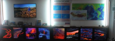
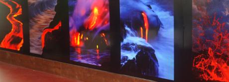
OBSERVATÓRIO VULCANOLÓGICO E GEOTÉRMICO DOS AÇORES
O OVGA é um Centro de Ciência que desenvolve atividade de investigação aplicada e de divulgação científica na área da Vulcanologia, da Sismologia e da Geotermia.


Notícia -A A +A
Scientists Uncover What Caused the Devastating Indonesian Earthquake – And Predict What It Means For The Future

Drone photo at Palu, Sulawesi, after the September 2018 tsunami and earthquake.
Foto: @Capture63 / Suttherstock
When a 7.5-magnitude earthquake struck Palu, Indonesia last September, scientists were left stumped and the city of 300,000 people devasted. More than 2,000 people were killed as a result of the earthquake and the soil liquefaction, tsunami, and landslides that followed, but such calamity shouldn’t have resulted from a 7.5-magnitude earthquake, and certainly not in this area. Now, a set of studies published in Nature Geosciences helps to explain why – and what it means for future projections.
An earthquake is triggered when built up stress in the Earth’s crust hits breaking point, causing rocks on either side of a tectonic fault to suddenly shift in opposing directions. Shock waves, or shear waves, normally radiate through the crust at about 3.5 kilometers (2.2 miles) per second, shaking the ground and causing the rumblings we often associate with earthquakes.
High-resolution analysis of seismological data shows that the Palu earthquake ruptured at an unusual speed of 4.1 kilometers (2.5 miles) per second, resulting in a “supershear” earthquake – a geological seismic boom. It moved along the 180-kilometer-long (60-foot) fault line at a faster rate than the shock waves it generated.
“This is the first time we observe this speed so steadily,” said study author Jean-Paul Ampuero in a statement. “This earthquake ran in the ‘forbidden’ speed range, and can be considered as a supershear event, even if it's not as fast as previous ones.”

(Left) The colored background shows the ground displacement by the Palu earthquake. The black dot indicates the city of Palu while the thin black line shows the fault. Circles show spots that radiated waves during the earthquake, blue at the beginning and red at the end. (Right) Timing and position of earthquake radiators.
Foto: © Han Bao et al., Nature Geoscience
Though it only lasted 35 seconds, the later strike-slip – when two continental crusts slide past each other laterally – earthquake left more than 5 meters (16 feet) of ground offset across the city. Only a few of these types of earthquakes have ever been observed and they almost always happen on geological “superhighways”, faults that are especially straight and don’t have many obstacles to buffer speeding earthquakes. In this case, researchers found that the fault itself was not straight and had at least two bends.
“This path has major obstacles, which should have reduced the earthquake's speed, but it stayed at 4,1 km/s along 150 km,” said Ampuero.
The fault that the rupture occurred on was not previously thought to be able to sustain such a rupture, which means more regions may be at risk of such high-speed quakes than previously believed.
“In classical earthquake models, faults live in idealized intact rocks,” said Ampuero. “But real faults are wrapped in a layer of rocks that have been fractured and softened by previous earthquakes. Steady rupture at speeds that are unexpected on intact rocks can actually happen on damaged rocks, simply because they have slower seismic wave speeds.”
With this new information, it appears supershear earthquakes may happen in places previously thought unable to sustain them, adding to a depth of knowledge that will help experts and authorities anticipate and better prepare for future events.
Fonte: IFLScience (05-02-19)
Adenda:
Localização de Palu (Indonésia)
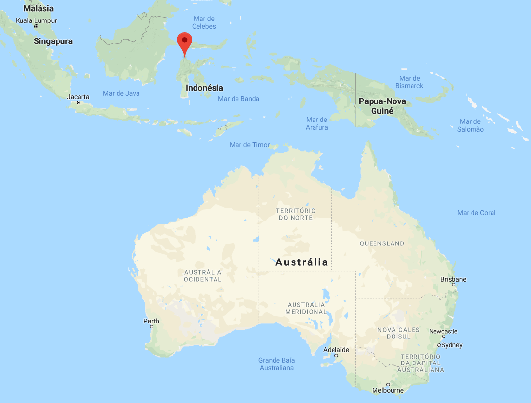
Google Maps
Relator: Pedro Correia